OPENING OF THE NAUTICAL CHART EXHIBITION:
“Among the Waves and the Maps of the Aegean”
ExhibitionsExhibitions 22 November 2024
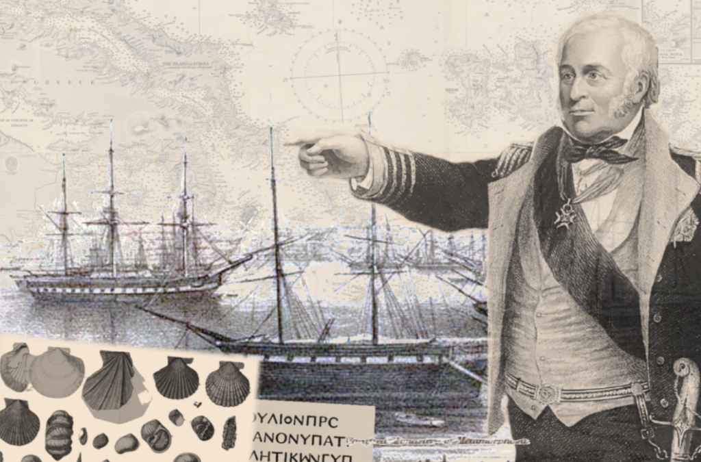
The Museum of the Macedonian Struggle and the Modern History of Macedonia Foundation (IMMA) has the honor of organizing the Exhibition of Nautical Charts by Emeritus Professor of Aristotle University of Thessaloniki, Paraskevas Savvaidis, titled: “Between the Waves and the Maps of the Aegean.” The exhibition invites you to its inauguration, which will take place on Friday, November 22, 2024, at 18:00, in the Alexandros Chaitoglou Hall at the Museum of the Macedonian Struggle.
The exhibition will be inaugurated by the Deputy Minister of the Interior, responsible for Macedonia and Thrace, Mr. Konstantinos P. Gioulekas.
The exhibition of maps focuses on the efforts and adventures of British hydrographers to explore and map the coasts, islands, and ports, on behalf of Great Britain, in the mid-19th century. The waters of the Mediterranean historically attracted the interest of many nations and peoples in a changing historical environment of wars, power struggles, and competition for trade among the Great Powers of Europe and the Ottoman Empire. For the success of Great Britain’s goals, its military and commercial ships navigating the Eastern Mediterranean and the Aegean Sea needed reliable nautical charts to navigate sea routes and find safe anchorages and ports. This task was carried out by British hydrographers over a period of about sixty years (1810-1870).
Captains and sailors aboard hydrographic vessels carefully explored and mapped the islands of the Aegean Sea (then also called the Greek Archipelago), the coasts of Greece, Asia Minor, Crete, and Cyprus. However, alongside them, archaeologists recorded for the first time the ancient monuments of Greek history in unexplored areas. Natural scientists studied the marine environment, fauna, and flora, contributing to the advancement of science.
Thus, at a time when the geographic knowledge of the coasts of the Eastern Mediterranean and the Aegean Sea was almost non-existent, British hydrographers created exceptionally high-quality nautical charts, and their work contributed to archaeological study and natural history as much as to navigation, cartography, and geography.
The exhibition is thematically organized into the following five sections:
- British Hydrographers in the Aegean Sea
- Hydrographic Maps of the British Admiralty
- Designing Coastal Facades on Maps
- Hydrographers, Archaeology, and Greek History
- Hydrographers, Environment, and Natural Sciences
Exhibition Curator: Paraskevas Savvaidis, Emeritus Professor, Department of Civil Engineering, Aristotle University of Thessaloniki.
Exhibition Organized by: Museum of the Macedonian Struggle and the Modern History of Macedonia Foundation.
Exhibition Duration: November 22, 2024 – March 31, 2025
Communication Sponsors: TV100, FM100, FM100.6, MAΚΕΔΟΝΙΑ, makthes.gr.
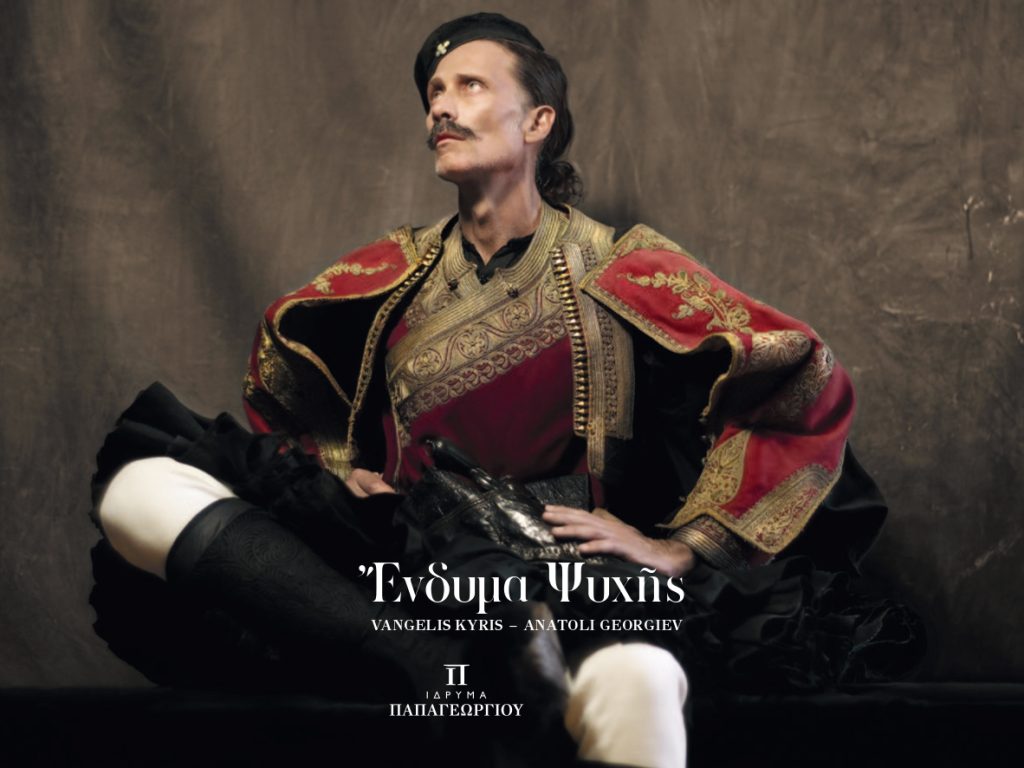
The Museum of the Macedonian Struggle participates in the exhibition “Raiment of the Soul”
Exhibitions September 2024 – January 2025